


matechakeric
Active member
- Joined
- Dec 15, 2020
- Messages
- 446
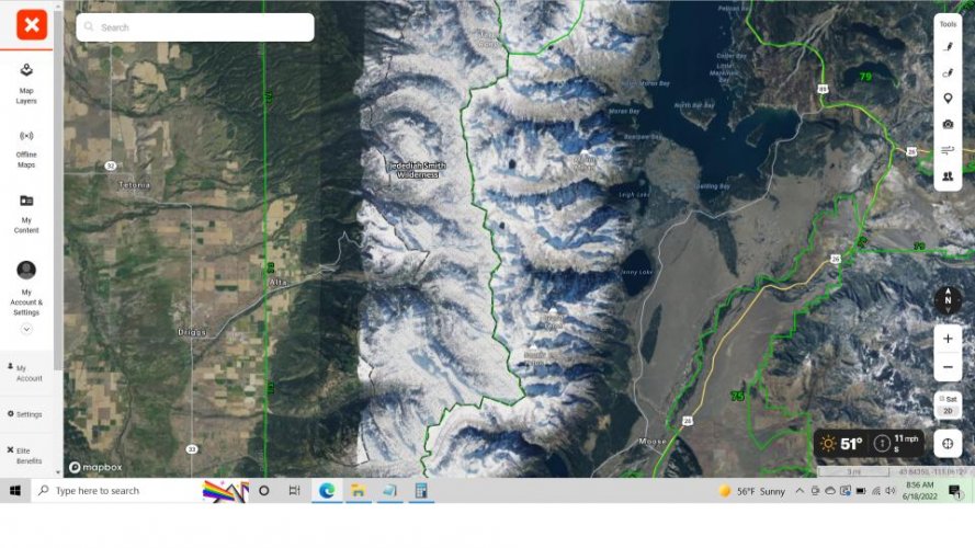
I noticed the current OnX satellite imagery, at least for Wyoming, must've been taken in winter as there is pretty heavy snowpack in all the mountains of the state. Is anyone else seeing something similar with their maps? It makes detailed e-scouting in the national forests pretty fruitless using OnX as a tool. Hopefully the satellite images get updated this summer
Attachments
Last edited:
