Help me understand wildfires.

Bukwild3

Member
Joined
Mar 4, 2016
Messages
261
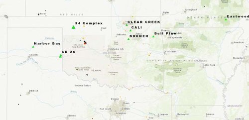
Well it looks like my turkey hunting trip to Nebraska is going down the drain with the weather coming in, so I moved to plan B and shifted my attention to Oklahoma. There are wildfires burning north east of black kettle and I keep hearing red flag days the beginning of the week. A quick Google tells me high risk days for fire. Is this something I can work around as in staying g close to the truck and keeping a eye on the sky or is something I'm under estimating and should stay out till rain comes Friday. I have never dealt with anything like this as where I'm from this has never been an issue. Plan C was Kansas but the season spent open till Thursday. Any advise would be greatly appreciated. My # for this trip may very well be #fire&ice......... prayers for all those affected by the fires in Oklahoma!
 
Wildfires are nothing to mess with, you should be able through google search to see active wildfires within the state or just contact the department of wildlife. I would not put myself in harms was in front of any wildfires. I think you should be able to go down there and hunt without worry as long as you take some precautions.
 
Yeah, you want to stay out of the way of those fires. They can turn in a heartbeat. OnXMaps has a current fire layer to help you out there.
 
I learned everything I know from a Facebook meme last July. Graze it, log it, or watch it burn.


/sarcasm
 
The State of Montana has an application for the public to get info on fires.

http://gis.dnrc.mt.gov/apps/firemap/

Though it is for Montana, it consumes a few national fire datasets, such as GeoMac. If you open up that app and zoom to Oklahoma, you can get today's info on the fires burning down there such as names, sizes, perimeters, and current hot spots.
 

Attachments

  • oklahoma.jpg
    oklahoma.jpg
    25.8 KB · Views: 90
Back
Top