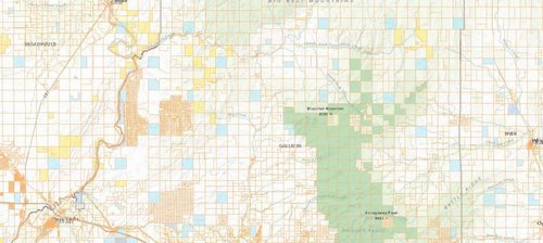
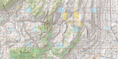
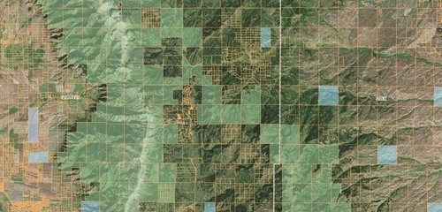
Sitka Gear Turkey Tool Belt

Alternatives to OnX Maps?

Beartooth83

Member
Joined
Aug 23, 2013
Messages
565
Location
Beartooths, Montana
There seems to be a lot of issues with the new app & offline use. Being this close to hunting season, I'm a little weary to trust it fully. What are some alternative apps out there? All I really want is to download high resolution aerial imagery maps for offline use. At this point, I don't care about private/public boundaries, I just want to be able to see the aerial topography and where exactly I am. I've seen a few guys talk about Backcountry Navigator. What else is out there and how does it work?
 
I use Avenza PDF.

Works offline, is simple and clean, and because of those reasons is what a lot of Federal and State agencies use to fight fire.

If you have mapping software such as ArcGIS, you can make your own maps, or you can just go to a web map and export your own, or you can just snag one from the Avenza store. Avenza works off of Georeferenced PDFs. It has all the functionality you'd want in terms of creating waypoints, lines, tracks, etc. Allows you to export them in to different formats such as KML(Google Earth), and is ultra-reliable.

The hurdle for most people with it is getting your basemaps of choice. But the three options I listed above are available. Once you clear that hurdle, it is the my favorite GPS Application.

That said, if you have a GPS, an OnXMaps chip is the best product out there. In terms of smart phone apps, I would take Avenza over OnX.
 
Last edited:
I'm not sure. Mine download to my phone memory. That said, PDFs are fairly compressed in terms of size. I have an older Iphone and have hundreds of square mile of maps with no issues.
 
Backcountry Navigator is awesome. when I don't need to know about land ownership boundaries, I use BCN exclusively. You still need to download the maps to your phone, but its real easy and you can get topo and satellite.
 
I don't think you can get land ownership info with Avensa. It's a good app however. You can download Forest Service and BLM maps onto it in addition to USGS maps.
 
I don't think you can get land ownership info with Avensa. It's a good app however. You can download Forest Service and BLM maps onto it in addition to USGS maps.

Maybe not from the Avenza store, I'm not too familiar with those maps. but from any web app that allows export to PDF that has that layer you could. I make my own maps and include that data. Montana puts it ownership layers out there for free though if you are looking for landowner names you would probably have to put that in your map manually.

Here's an example of a web app that allows export to georeferenced pdf https://gis.dnrc.mt.gov/apps/basemap/

Click on layers to expand them, use the Add Data widget and search the onlines for different layers, change the basemaps through that widget, and use the print widget to export a large map covering varying areas based on the settings to a georeferenced PDF. Parcels don't appear to be labeled on the default layers, but different public land ownerships are.

If you go the webmap route, it will take some fiddling.
 

Attachments

  • webmap example.jpg
    webmap example.jpg
    44.8 KB · Views: 919
  • Webexample2.jpg
    Webexample2.jpg
    75.5 KB · Views: 915
  • example3.jpg
    example3.jpg
    63.1 KB · Views: 920
MTNTOUGH - Use promo code RANDY for 30 days free

Forum statistics

Threads
111,041
Messages
1,944,673
Members
34,982
Latest member
zjzeuske
Back
Top