MTNTOUGH - Use promo code RANDY for 30 days free

E-Scounting Questions

HobbitHubby

New member
Joined
Jan 18, 2017
Messages
2
Hi all,
I'm at the beginning stages of planning my first California deer hunt.
How do you identify burn areas using GoogleEarth? What should it look like on Satellite?
 
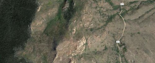
Basically you are looking for dramatic changes in vegetation that have discrete borders...this is the Hayman fire in Colorado you see one side has trees the other is barren. You have to be careful though because imagery in rural areas isn't updated that often and burn areas may be on there that have totally regrown.
fire1.jpg
 
So, on that map above, where would you set up to glass? Would the "brown area" be feeding and the tree line bedding areas?
 
Ollin Magnetic Digiscoping Systems

Latest posts

Forum statistics

Threads
111,093
Messages
1,946,550
Members
35,021
Latest member
Higbee
Back
Top